Hinweis: Das ist ein alter - nicht mehr gewarteter - Artikel des AEIOU. Im Austria-Forum finden Sie eine aktuelle Version dieses Artikels im neuen AEIOU.
Peutingersche Tafel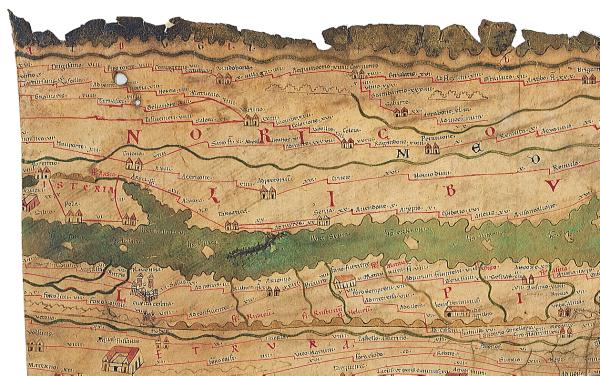
© Copyright Tabula Peutingeriana, section of Lower Austria. Peutingersche Tafel (Tabula Peutingeriana), Roman map handed over for publication in 1507 by the Vienna humanist K. Celtis to the town clerk Konrad Peutinger (hence its name) in Augsburg. The Tabula from the 11th or 12th century is a copy of a road map of the Roman Empire and of the eastward trade routes to India and China, which was last edited in the first half of the 5th century (Theodosius II, 435?). The preserved map, a scroll of parchment 6.82 m long and 34 cm wide, was published after the death of Peutinger; it was purchased by Prince Eugène in 1720 and acquired by the Vienna Imperial Library (National Library) after his death. In 1863 the Tabula Peutingeriana was cut into 11 sheets due to its damaged exterior. The territory of Austria is drawn on segments III and IV. The Tabula Peutingeriana constitutes a unique source of the historic geography of transport routes and settlements in Austria, with around 3,900 place names. 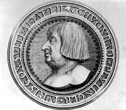
© Copyright Konrad Peutinger, illustration by S. Kleiner Facsimile edition: Tabula Peutingeriana, Codex Vindobonensis 324, ed. by E. Weber, 1976.
| |||||||||||||||||||||||||||

